(Edit: I don't think what I thought was the Painted Desert was in fact the Painted Desert. Apparently the actual place was about 100k north-west of William Creek, and when we left we headed south.)
(Edit 2: Go Johnny GO!!)
JJM Pictures
(cue theme tune: on the drive up from Whyalla to Hawker one of the CDs I had playing was Judas Priest's "Ram It Down." I tell ya, their cover of 'Johnny B. Goode" is still awesome after two decades.)
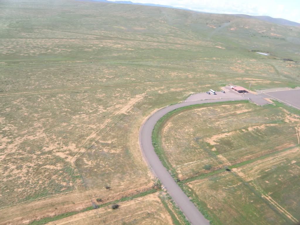
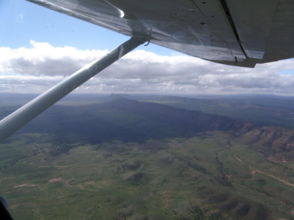
Leaving Hawker Airstrip:
>
The scale of the downpours out here strikes you pretty quick:
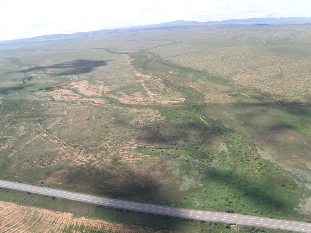
This land was dry as a bone and had not a bit of green on it just a few months back (the road shown is that from Hawker to Wilpena Pound). Apparently the local stockmen have taken to scarifying the land just to make sure that the seeds of local vegetation get germinated, maximising growth of feed for their cattle. So I am told. Given the obvious signs of such activity (see bottom left corner) I have no reason to think my leg was being pulled.
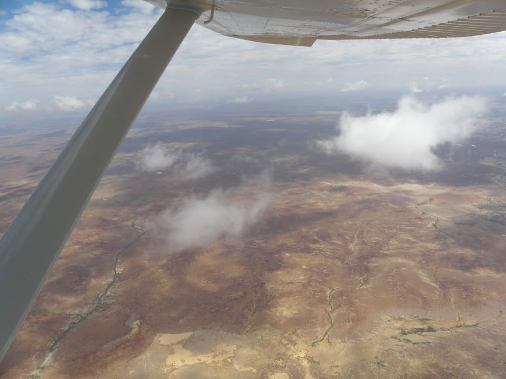
More of the same:
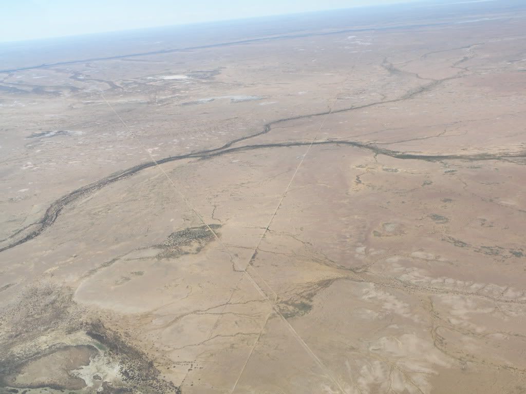
It's greenery like this and this far north that lets you understand why the early settlers tried to crop it and called it the Golden North. They didn't realise how cyclical it was - El Nino and all that - and there was a lot of heartache when the land turned dry again after about 10 years (you can see the hints just in the strips and patches of brown everywhere). For a blunt visual example of the scale of their mistake, check out this comparison:
This is looking south-east into the northern tip of Wilpena Pound, which is actually an elongated-bowl-shaped structure that runs approximately north-south:
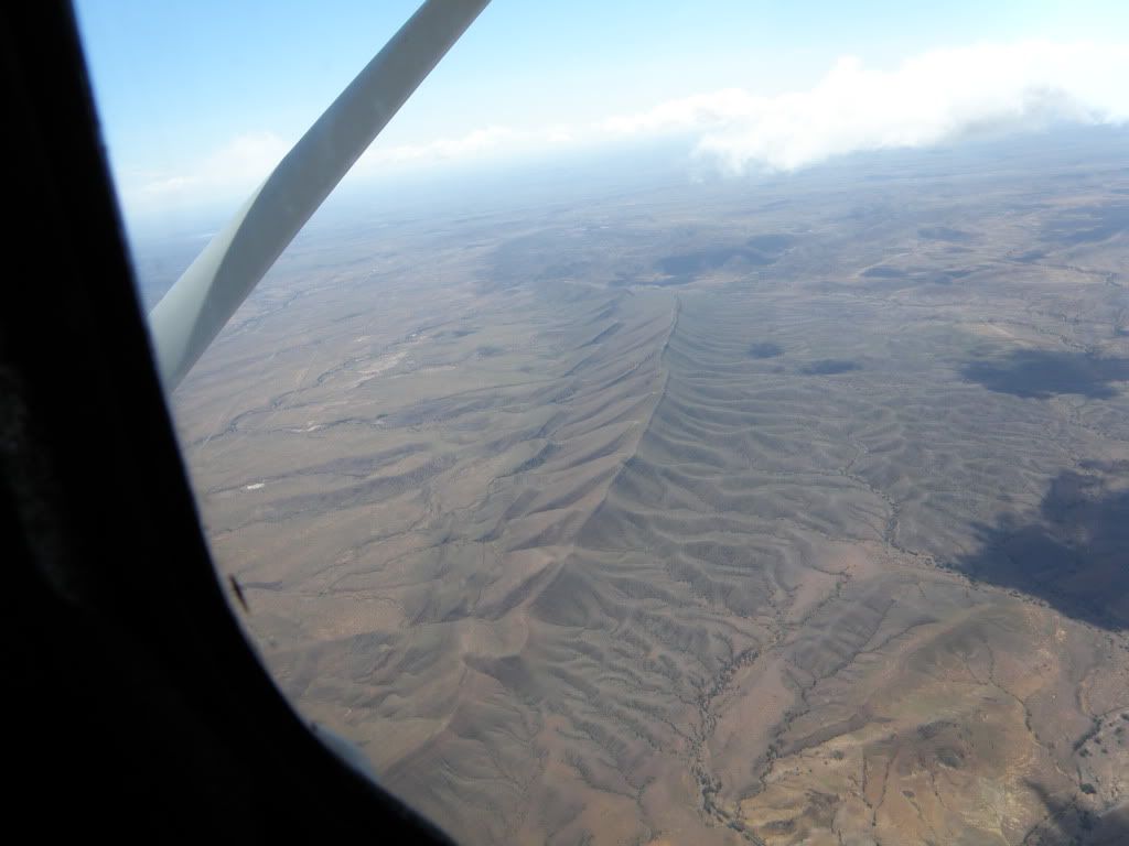
A fascinating ridge that just pops up out of nowhere. That's the remains of a stone fence along its top, marking a property boundary.
The Leigh Creek open-cut coal-mine, flooded out:
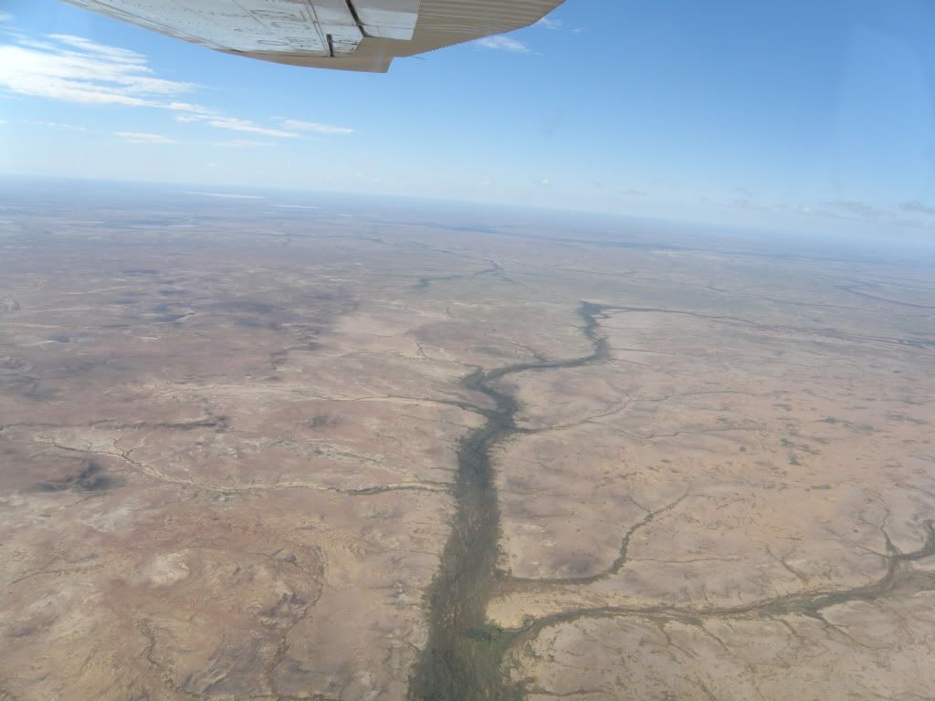
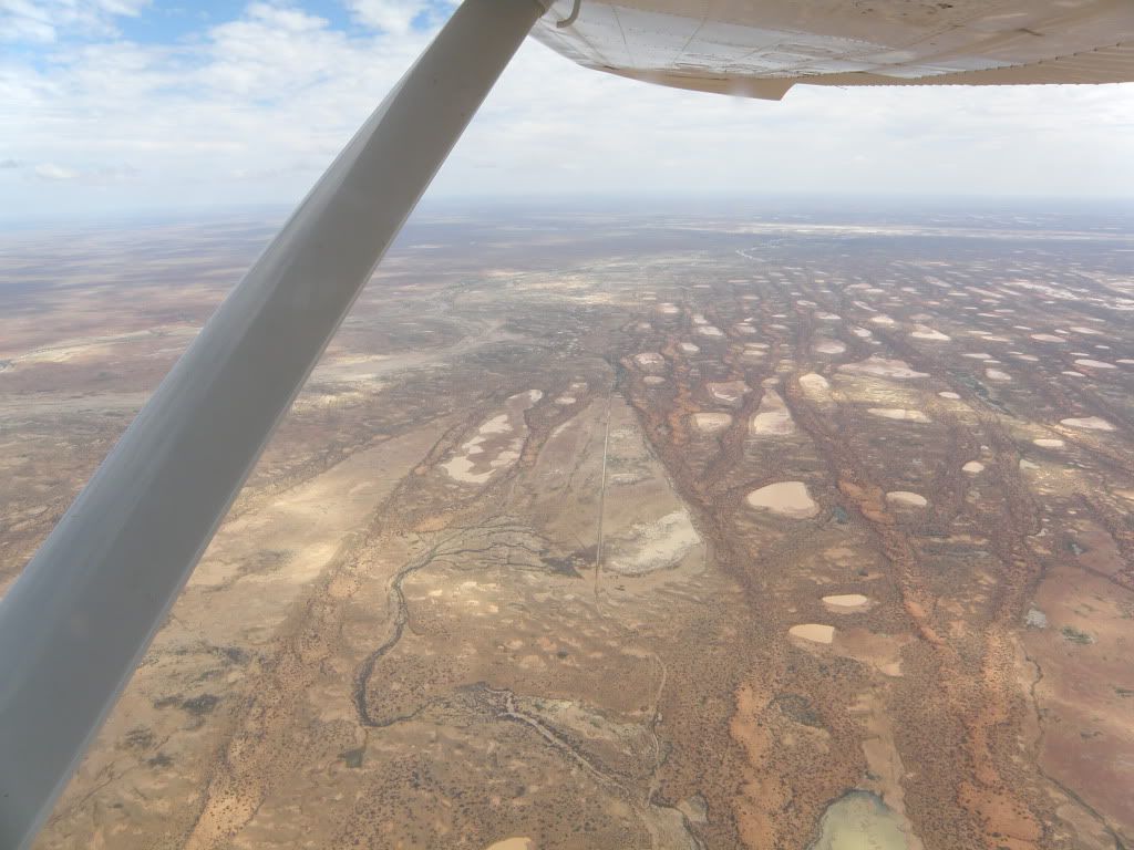
The greenery along the valleys just blooms quickly into life once it gets some water in it:
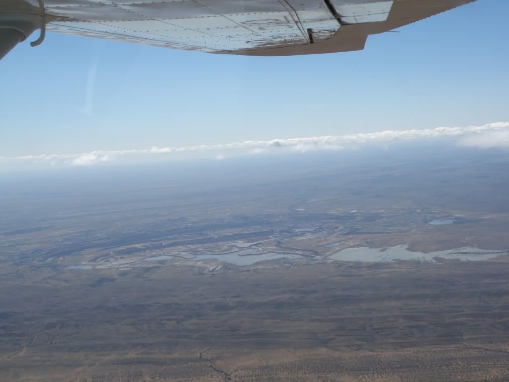
This one, as well as showing more Nile-like ribbons of green, has two lines criss-crossing it. The one going top-left to bottom-right is the bore road connecting a 33Ml/day pumping station to the mine-site at Roxby Dam (the largest uranium deposit in the world, amongst other things) taking bore water out of the Great Artesian Basin (and chewing through 100kl of diesel a week in the process, I am told). The one going top-right to bottom-left is part of the 10,000km long dingo fence that keeps dingos out of the southern pastoral districts. North of the fence (left side of picture) the grazing lands are mostly cattle only, too big for the dingos to bother, but south (right side) is where sheep also begin to be raised (and also where increasing numbers of people are to be found).
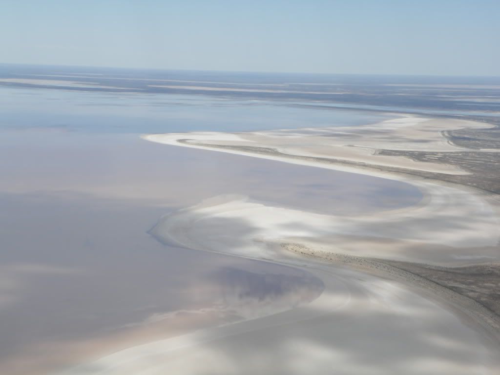
One of the shores of Lake Eyre North. A lot of the bays have their own names (most instituted by the Dulhuntys, a pair of academics who did a lot of detailed investigation of the region), and I forget what the names of these two bays are.
Over the water in Lake Eyre North. Those white lines are not waves on the surface, that's salt-dunes underneath the water.
After that we turned west and headed for William Creek for lunch. By this time many of us were queasy because of the combination of engine heat and the bumpiness of the flight. I was also feeling the effects of a lack of caffeine because we were told not to drink anything before the flight. Fortunately nobody actually got sick, but a LIGHT lunch was definitely order of the day! I had a toasted cheese and ham sandwich and a can of coke - Vic recommended the famous William Creek Burger, but that's a delicacy for people with stronger stomachs (and which are bottomless pits).
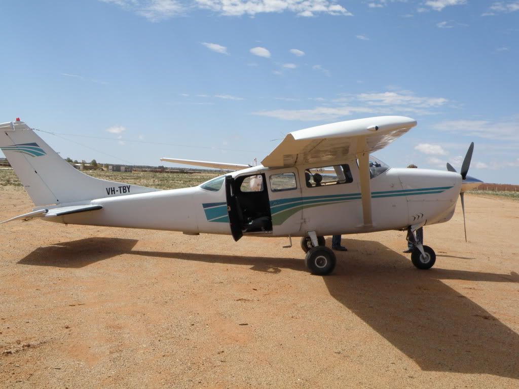
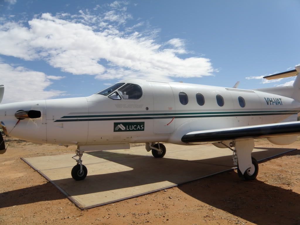
Anyway, after we landed I took a photo of the plane, a Cessna of some kind:
Distance to...
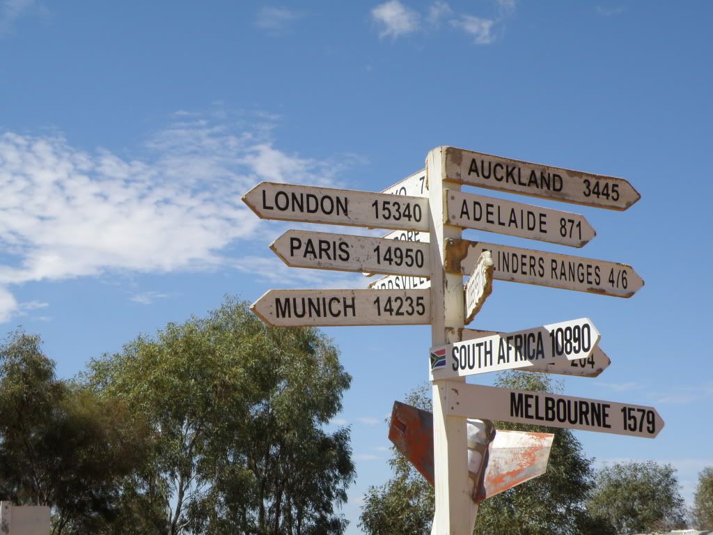
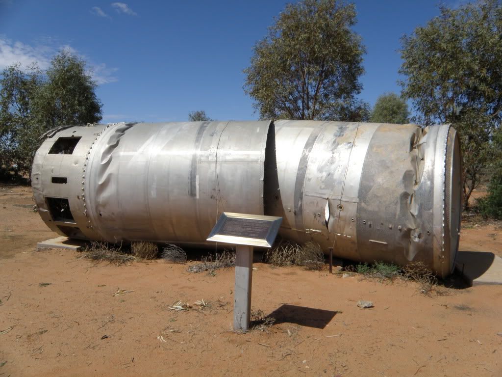
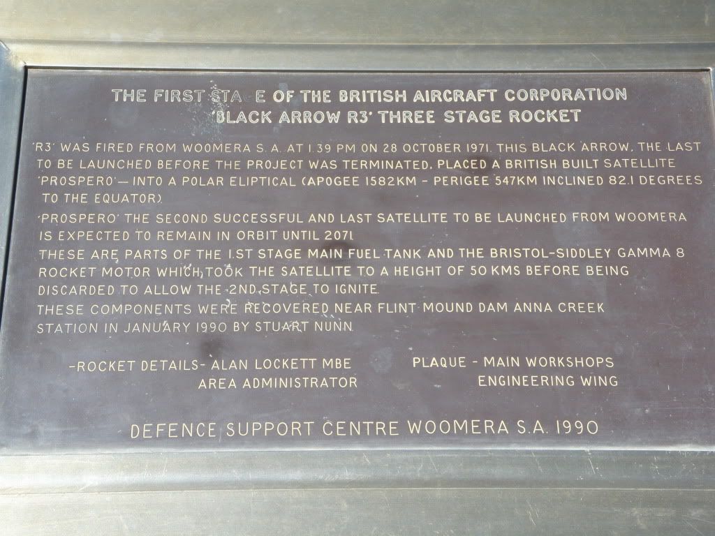
Yes, that's the tail end of a rocket behind the mile-marker! It's one of two Skylark rockets in an outdoors space museum just across the road from the William Creek Hotel. Here's another exhibit, a Black Arrow (diameter approx 2m):
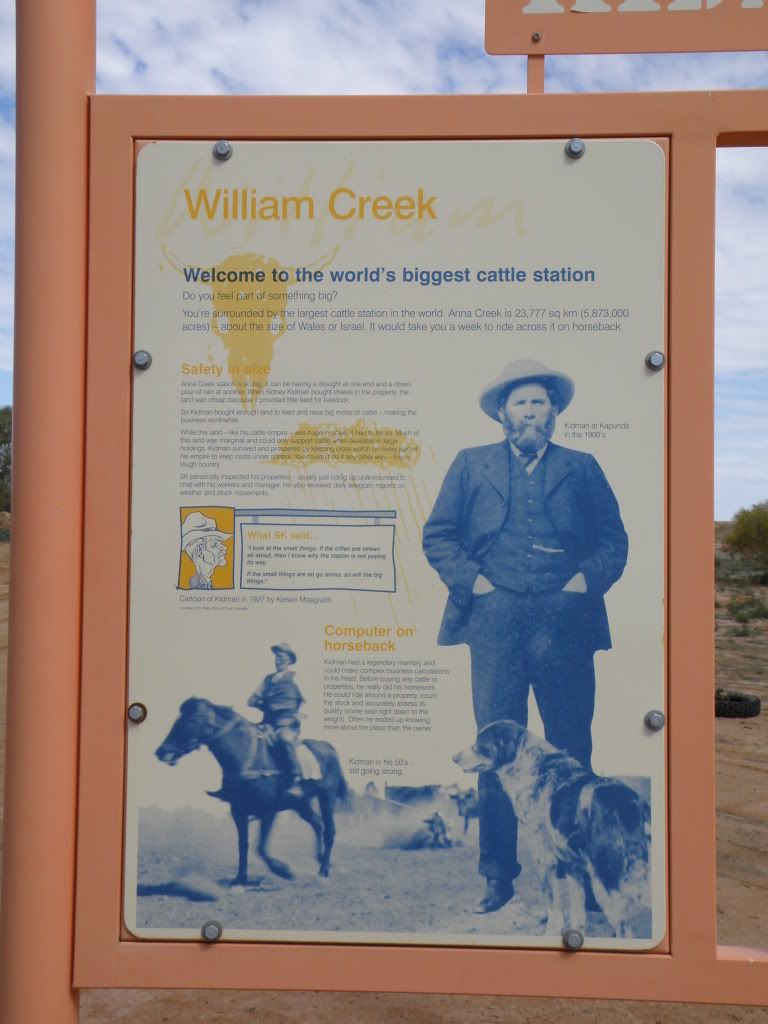
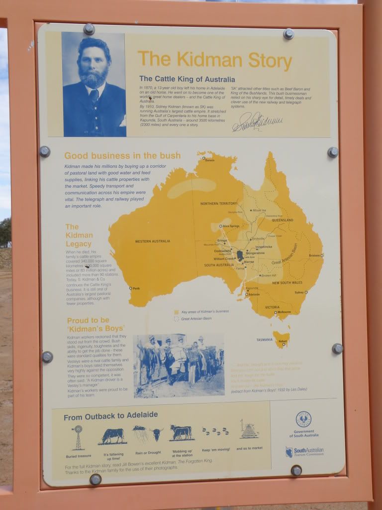
Just up from the museum is a pair of signs with information about the origins of the cattle station that William Creek is situated on. Anna Creek Station, founded by Sir Sydney Kidman, is gigantic! It's the largest tract of private property on the planet, larger than some countries, and 1/4 the area of England!
The museum also has an honour-system gold-coin-per-photo, (I have more than just those above) but the coinbox was full so I gave $10 to the RFDS instead when I got home. Speaking of the RFDS...
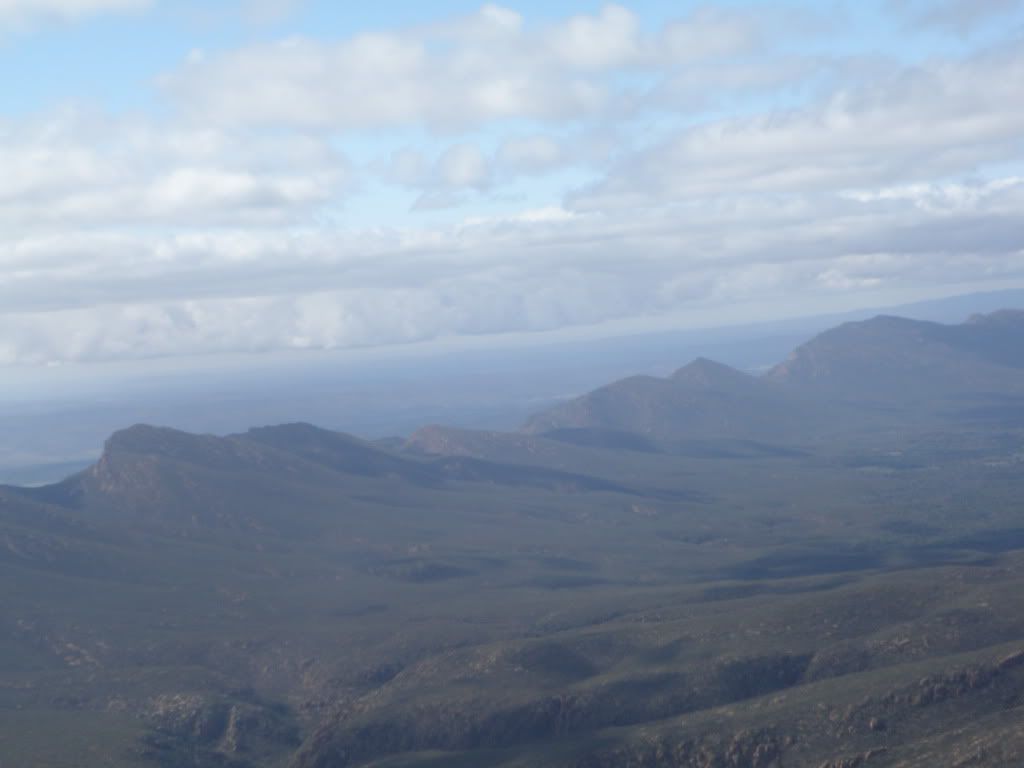
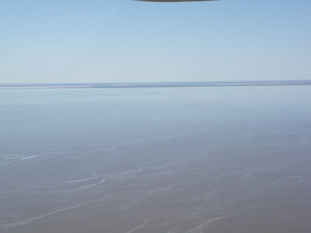
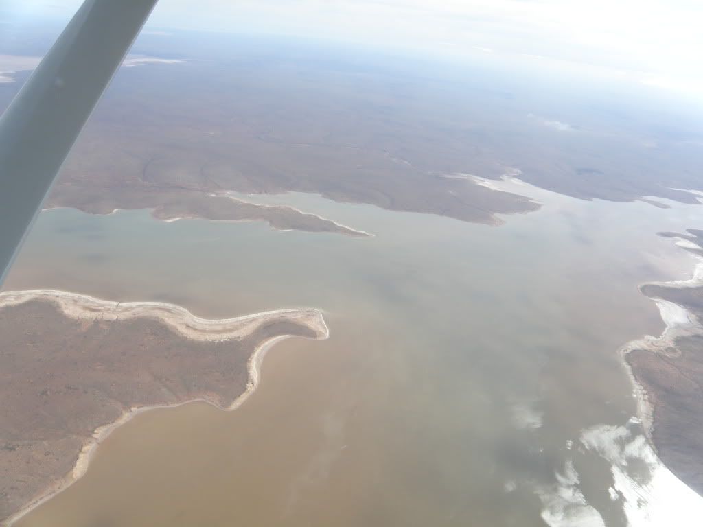
After lunch, and Vic refueled, we were off back to Hawker again, but by a different route. This time we went over the Painted Desert and Lake Torrens.
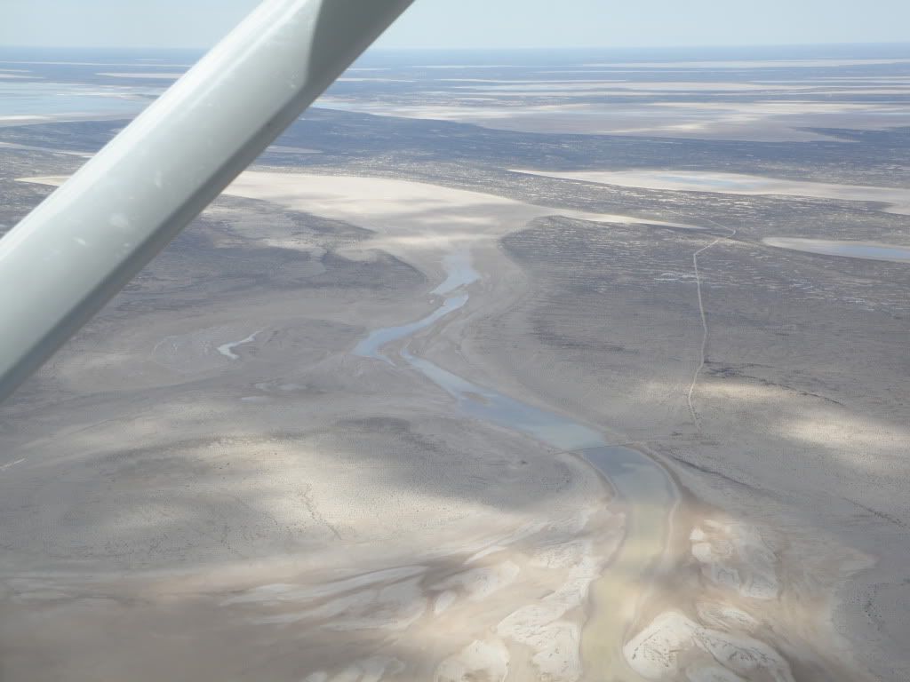
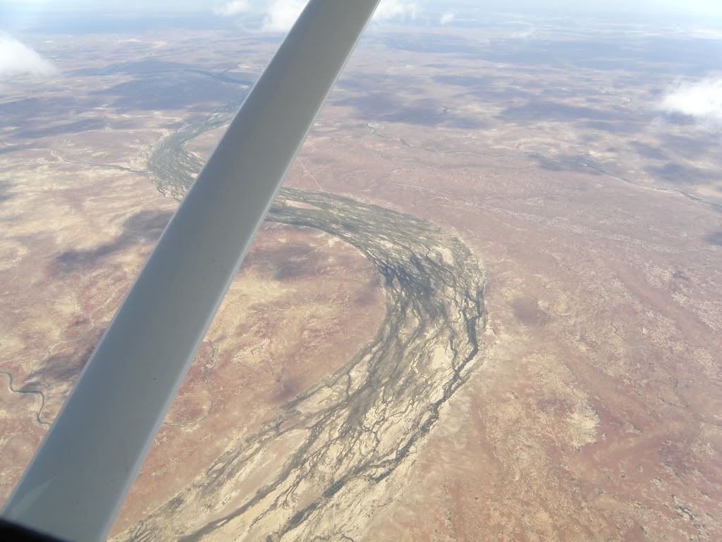
Another Nike-like watercourse, this time between the Painted Desert and Lake Torrens. And again, no sense of scale. That bed is circa 200m wide, I think.
The northern tip of Lake Torrens, before we circled around to head home:
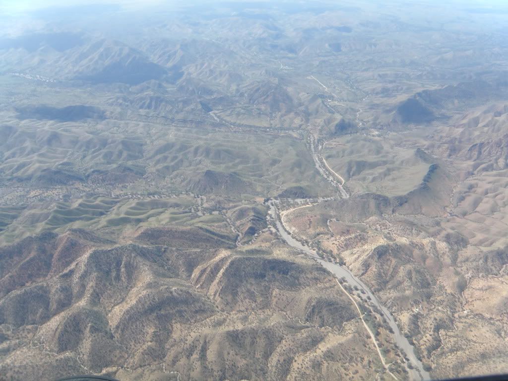
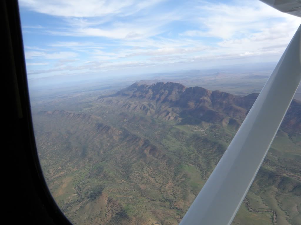
After Lake Torrens and over the Flinders Ranges we were close to near-solid greenery and Hawker again. I managed to get a respectable snap of the Elder Ridge:
Overall I did enjoy the trip, but didn't see as much as I expected to. Vic said that most of the birdlife concentrates on the rivers feeding the Lakes, not the Lakes themselves, because the rivers are fresh(ish) while the lakes are as much as 7 times as salty as normal sea water. Nothing grows in them except algae (I work with such algae - Dunaliella salina) and a few hardy fish near the rivermouths. I missed the Maree Man, too, unfortunately. I think that were I to do another joyflight out of Hawker in future I'd go up to Innamincka over the main rivers feeding Lake Eyre: Coopers Creek and The Warburton. If you're in South Australia for a holiday, and the Flinders Ranges is on your itinerary, I really recommend taking in a day-flight or two up north. I thought mine was money well spent.
JJM

No comments:
Post a Comment